⌖ Made for Almaty
Know the air.
Choose your walk.
Your city, a little easier to explore. Plan a walk and check local air-quality readings before you head out.
Free to explore. No sign-up needed.
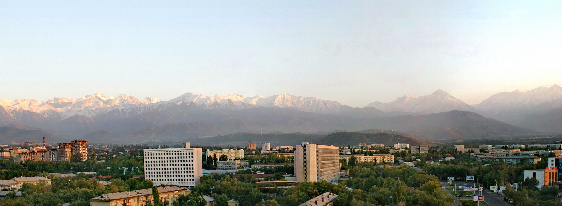 ⌖ Almaty, Kazakhstan
EXPLORE YOUR NEIGHBOURHOOD
Find a place or choose two points on the map.
ABOUT AIRPATH
A local idea. A more informed walk.
We’re building AirPath to make Almaty’s air-quality information easier to use in everyday life.
This student project brings walking routes and local sensor readings into one place. Choose your own destination, compare walking time and distance, and explore nearby observations.
The route planner is connected. A reliable “cleanest route” calculation is still work in progress—we won’t label a route cleaner without evidence.
Plan a walk →THE CITY WE WALK
A little more Almaty.
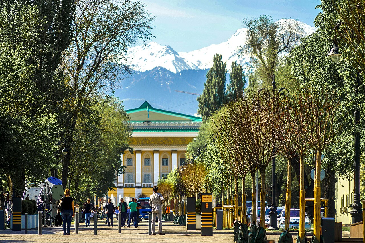
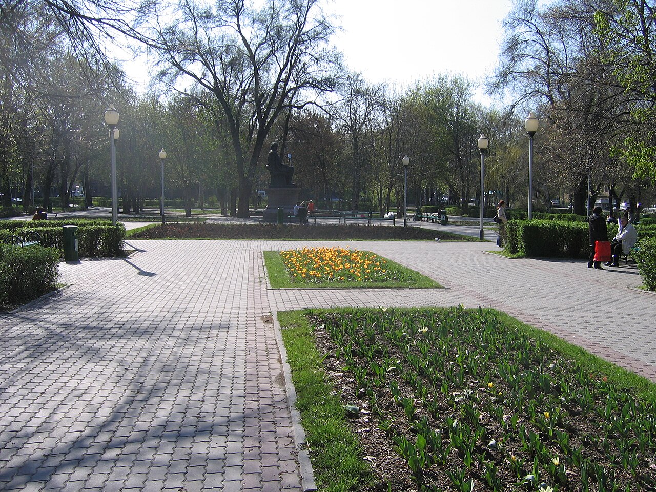
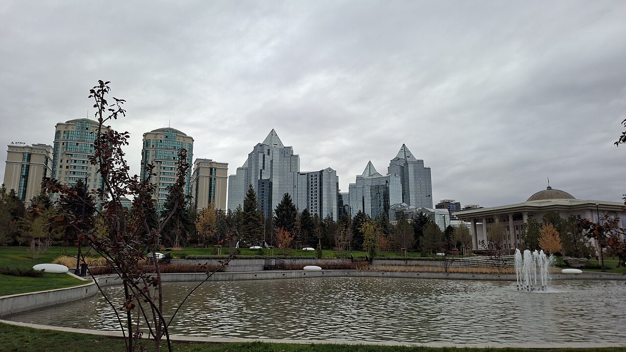
Real photographs, credited to their photographers. Scroll or swipe to explore. Cropped for display.
Small journeys. A different footprint.Carbon emissions
Cleaner air and lower carbon: different questions.
PM2.5 describes fine particles in the air you breathe. CO₂ emissions describe a different environmental impact. The sensor map is not a carbon-emissions map.
Walking produces no vehicle tailpipe emissions. The CO₂ avoided depends on the car trip it replaces. AirData’s calculator offers estimates, not measured emissions for each street.
Explore AirData’s CO₂ calculator ↗GOOD TO KNOW
Simple to use. Clear about the limits.
A useful starting point for your walk, with honest information about what the data can tell us.
How does route planning work?+
Search for an Almaty address or landmark, select the result and press Plan a walk. You can also select start and destination directly on the map. FOSSGIS / OSRM calculates pedestrian routes using OpenStreetMap. Alternatives appear only when the provider finds them. Times are estimates; crossings, access and temporary closures need checking. This is not turn-by-turn navigation.
Can you calculate my pollution exposure?+
Not reliably for your route yet. A rough method sums concentration × walking minutes across route segments. Example with MOCK data: 20 minutes at 30 µg/m³ = 600 µg·min/m³; 25 minutes at 20 µg/m³ = 500, about 17% lower despite taking longer. This is a concentration–time proxy, not inhaled dose, AQI or health risk. Sparse sensors, changing weather, breathing rate and missing street-level data limit its usefulness. No real route is ranked by these mock numbers.
Is the air data live? Can I refresh it?+
The site requests AirData’s latest available snapshot when you open or reload the page. Refresh readings checks again (at most once every 15 seconds). “Checked” is the download time; “observation” is when a sensor measured the air. They are different. Readings older than two hours are marked and excluded from the recent average. This freshness rule is not an accuracy guarantee. If the source fails, the dated snapshot stays visible. The displayed average represents available sensors, not the whole city.
What happens without internet?+
Photos, explanations, a saved central-Almaty street map and dated sensor readings are bundled with the draft. New address searches and walking routes need the internet and the included server. If a provider is unavailable, we show an error instead of inventing a route. These free public services have no uptime guarantee.
What do you store or share?+
No account, GPS permission or analytics. Only your language choice is saved in this browser. Searches are sent to Photon (komoot); route coordinates to FOSSGIS; map tiles to OpenStreetMap; air requests to AirData through our server. These services receive request information and may keep logs. The server temporarily caches searches and routes in memory for 30 minutes. Do not enter a private address if you do not want it sent to these services.
Take a look around.
A familiar journey is a good place to start.